Valldalsleden
Valldal - Lesja - Dovre mountainValldalsleden starts by the fjords and ends in the Dovre mountains. There, the trail connects to Gudbrandsdalsleden pilgrim path which leads to Nidaros Cathedral in Trondheim.
Valldalsleden is the route the Viking king Olav Haraldsson, later known as St. Olav, chose when he escaped the country in the winter of 1028-1029. He had his ships pulled ashore in Valldal, and from there he crossed the mountain to Lesja and Dovre.
Who is Valldalsleden suitable for?
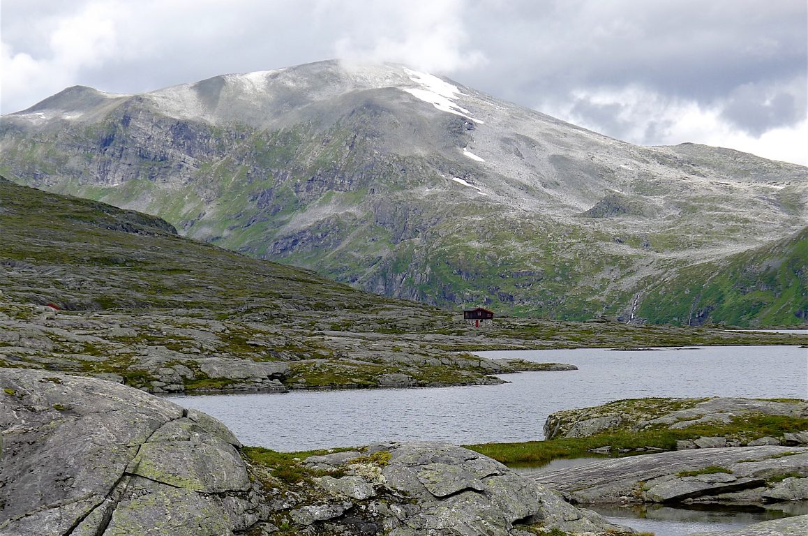
The Valldalsleden trail is spectacular, but also demanding, and is only recommended for those who are used to hiking in high mountains and using a map and compass. You'll walk into rocky high mountain terrain, and go for several days without mobile coverage, and it can start to snow up there even in the summer.
It is recommended to bring a topographical map and compass. You can buy a map here: Turkart Tafjordfjella & Reinheimen 1:50 000 - Calazo.no
It's also recommended to bring a GPS, and you'll find GPX track to download at the bottom of this page.
Don't walk too early in the summer
Although the main season for pilgrimage in Norway in general is 1st June - 1st September, the season is much shorter on the Valldalsleden trail because it goes through high mountains. Often the trail is not passable until well into July, so you should find out how the situation is this in this years season before starting your trip. You can get information about the current situation from the Fjordhagen office in Valldal, contact Gro Marita Stennes Valdal by phone +47 969 00 904, or email, GroMarita@fjordhagen.com
It is not recommended to cross the mountain before the snow has melted, because the markings may be hidden under the snow, and you will encounter problems due to snow and meltwater. Both rock and snow avalanches can occur even in the summer from the mountain peaks above.
The daily hiking stages here are much shorter than on other trails due to the large amount of rock and gravel as well as the steep terrain. Another thing worth noting is that here is no telephone coverage on parts of the route.
You must expect to carry a large amount of food and equipment. It is recommended to bring full mountain equipment including bivy bag/wind bag and sleeping bag with sleeping pad as well as sturdy mountain boots and warm clothes. For more packing advice, see our packing list.
A legendary path
Valldalsleden starts at the pier in Valldal. It was here the Viking king Olav Haraldsson and his men went ashore in the winter of 1028 - 1029 according to Snorre Sturlason's royal sagas. The legend says he encountered a seamonster on his way into the fjord, which he threw up into the steep mountain wall in Syltefjellet, and the mark still stands there.
Shortly after passing through the center of Valldal, the trail goes up a steep hill - Korsbrekka. Here Olav stopped, according to the saga, before going further up the valley.
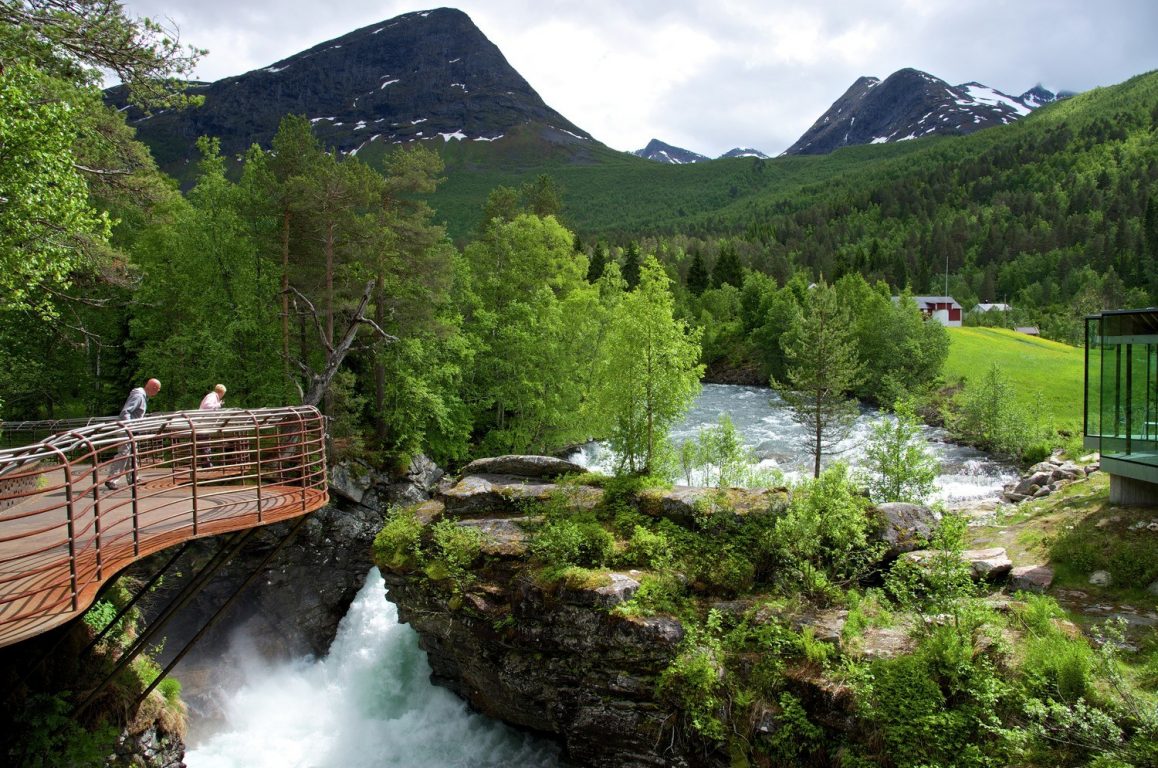
The trail eventually passes the stone quarry at Døving, where there used to be a small chapel, and on to Gudbrandsjuvet and Alstad. Here Olav stopped in his time, and therefore it's a good place to make a stop for pilgrims. Gudbrandsjuvet is worth a visit, and there is accommodation at Juvet Landscape Hotel or at Gudbrandsjuvet Camping.
Wild reindeer along Valldalsleden
The last populations of wild reindeer in Europe are found in Norway. We therefore have a special international responsibility to take care of the wild reindeer. Today, wild reindeer can be found in 24 areas in Norway. One of these is the Reinheimen-Breheimen mountain area where Valldalsleden passes.
To reduce disturbance to the wild reindeer, all pilgrims and hikers through the mountain area are encouraged to:
- Avoid traveling in the mountain area in May and early June when there is calving
- Follow the marked trails
- Keep your dog on a leash and under control
- Stay calm if you see a wild reindeer. Let it run away undisturbed
- Keep your distance and use binoculars
- Do not use a drone
Please read more at Wild Reindeer | Villrein and Reinheimen National Park Norway's national parks
Sources for this article: Norwegian Environment Agency and Norwegian Wild reindeercenter.


If you need more help or guidance, Fjordhagen AS in Valldal is ready to help you.
Contact person:
Gro Marita Stennes Valdal
Phone: +47 969 00 904
E-mail: GroMarita@fjordhagen.com
There is a guidebook about Valldalsleden published in 2025.
Title:
Valldalsleden - From Valldal to Fokstugu and on to Trondheim.
Walking guide for the pilgrims' way to Nidaros in Norway.
Author: Ria Warmerdam
Contents: 124 pages, full colour, pictures and maps
Publisher: Op Vrije Voeten, Amsterdam
Web shop: Hiking guide Valldalsleden (Norway)
Description:
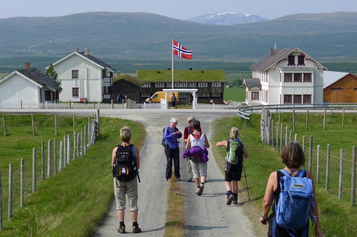
When you embark on the 384 km long pilgrimage, you hike from the fjords over the mountains of Reinheimen, through the Roms Valley, to the foothills of Dovrefjell. After 150 km, Valladalsleden ends in Fokstugu. You continue on Gudbrandsdalsleden, the ancient pilgrim route to Trondheim. You cross the spectacular Dovre plateau, walk through the forests and fields of Trondelag, and finish in front of the Nidaros Cathedral.
The guide contains:
- Stage descriptions
- Maps for the entire route (1: 50,000)
- City maps (1: 25,000)
- Elevation profiles
- Background information
- Information on accommodation, and places to eat
- All the necessary information to adapt the route to your own preference
Route suggestions along Valldalsleden
[[ notice ]]
We found no trail suggestions.
Try to filter on something else.